


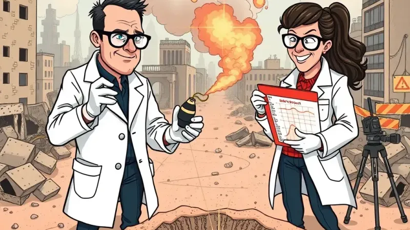
DAMASCUS — A groundbreaking new study published in *Geophysical Research Letters* has found that the Syrian civil war, which began in 2011, has inadvertently provided an 'unprecedented' natural laboratory for geoscientists to observe significant land uplift and other complex environmental transformations. Researchers hail the decade-plus conflict, responsible for displacing millions and causing widespread humanitarian disaster, as an 'optimal' condition for studying long-term landform evolution.
"While the human toll is, of course, a deeply regrettable externality, the cessation of intensive agricultural activity across vast swathes of Syria has allowed for a remarkable terrestrial rebound," stated Dr. Aris Thorne, lead author and Senior Geospatial Analyst at the Institute for Conflict-Induced Landform Studies. "We've documented localized land uplift of up to 1.7 meters in certain abandoned farmlands, a rate of change typically observed over centuries. It's truly a unique dataset on hydrologic stressors and post-agricultural substrate dynamics that no controlled experiment could ever replicate."
The study meticulously details how population displacement and the destruction of irrigation systems led to a sharp reduction in anthropogenic land management. This, in turn, allowed soil compaction to reverse and groundwater tables to fluctuate more naturally, driving observable changes in elevation and water resource profiles. The paper notes significant shifts in sediment transport, riverine morphology, and even microclimates, all now providing rich material for a new generation of climate modeling.
"The sheer scale of data generated by a large-scale, protracted human conflict is, from a purely scientific standpoint, a goldmine," Dr. Thorne continued, adjusting his bespoke smart-glasses. "Our satellite imagery analysis has allowed us to precisely map the correlation between ordnance impact zones and subsequent localized soil aeration. Future conflict zones, should they unfortunately arise, could be pre-equipped with sensor arrays for enhanced data capture."
Officials from the Global Geo-Data Alliance, which partially funded the research, expressed enthusiasm for the findings. "This study transforms tragedy into actionable knowledge for the Earth sciences," said spokesperson Lena Sharma. "We're actively exploring protocols for integrating future global instability events into our long-term geological observation frameworks. Every cloud, as they say, has a silver lining for someone with a grant application."
The research team is now reportedly seeking funding to analyze the unique acoustic signatures generated by sustained artillery fire across varying geological strata, promising another 'revelatory' dataset for seismologists.