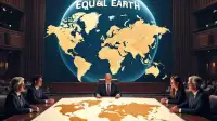

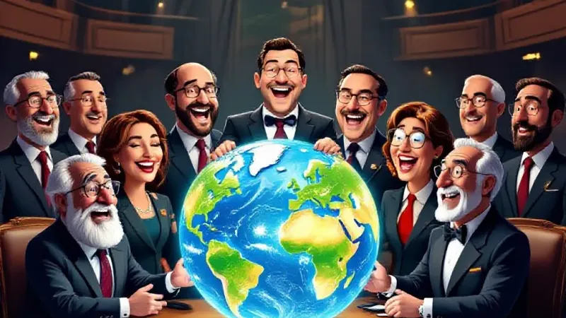
United Nations officials declared a new era of global justice yesterday, confirming that centuries of Western-centric oppression have been officially nullified following the immediate adoption of the "Equal Earth" projection map. The new map, which accurately depicts landmasses in their true proportional size, replaces the notoriously biased 16th-century Mercator projection, which notoriously inflated Europe and North America while drastically shrinking the Global South. The UN lauded the move as a groundbreaking step towards correcting historical inequities.
"For too long, the psychological burden of a disproportionately small Africa weighed heavily on the collective conscience of humanity," stated UN Under-Secretary-General for Cartographic Reparations, Dr. Philomena Scales, during a press conference where the new map was triumphantly unveiled. "Now, with Greenland finally shrunken to its true, negligible dimensions—roughly the size of an average Starbucks drive-thru line—we can begin the painstaking work of... well, we've pretty much done it, haven't we? The map is fixed." Dr. Scales reportedly then adjourned the press conference, citing a feeling of unprecedented, overwhelming accomplishment, and announced a week-long UN holiday to celebrate global cartographic equity.
Not all were entirely enthusiastic. Anonymous sources within the Security Council expressed hushed concerns that the new map might inadvertently expose the true scale of their respective countries' carbon footprints, making accountability harder to ignore when a nation’s landmass could no longer be conveniently minimized. One visibly flustered delegate from a perpetually cold, formerly-large nation was overheard muttering, "If this map shows exactly how much land my entire continent *should* cover compared to its past 'prominence,' I'm going to have a very awkward conversation with my constituents." Meanwhile, several Northern European ambassadors were seen trying desperately to explain to their capitals that their nations hadn't actually shrunk; it was merely a 're-scaling' for 'equity purposes' that would not, under any circumstances, impact their historical claims to global dominance.
The three cartographers behind the Equal Earth projection, initially astonished by its near-universal adoption, admitted they were now fielding calls from various nation-states demanding immediate adjustments to everything from their economic aid packages to their Olympic medal counts. "Apparently, some developing nations believe their newfound proportional size should correlate directly with proportional funding increases and a retroactive re-evaluation of all sports records," said lead cartographer Dr. Marcus Equidistant, visibly exhausted. "We just drew the lines. We didn't solve global capitalism, nor did we invent a time machine to re-run the 100-meter dash with geographically sensitive starting blocks."
Despite minor diplomatic grumblings and the sudden need for every globe manufacturer to retool their entire production line, the UN announced that with map-based inequality officially resolved, it could now redirect its entire budget towards commissioning a new global flag that doesn't implicitly privilege certain color palettes, or, failing that, an international anthem that doesn't accidentally sound like a national anthem from a G7 nation.